Rokkestenen
Bornholm’s most famous rocking boulder.
Bornholm • Paradisbakkerne • Paradise Hills • rift valleys • Rokkestenen • hiking trails
A rocky, hilly landscape between Svaneke and Nexø: narrow gorges, forest lakes and trails leading to the famous rocking boulder Rokkestenen. Perfect for a family walk in nature.

Paradisbakkerne (Paradise Hill) is a unique post-glacial landscape in eastern Bornholm: steep, narrow rift valleys, lush vegetation, peat bogs and quiet forest lakes.
The main highlight is Rokkestenen – the famous rocking boulder. Nearby you can also find traces of earlier settlements and remains linked to Gamleborg.
In Paradisbakkerne you’ll find steep gorges and valleys (often 20–50 m high), wet meadows and small, calm forest lakes. It’s an ideal “forest reset” away from crowded routes.
Rare plant and animal species live here, and the area is popular with nature lovers and photographers.

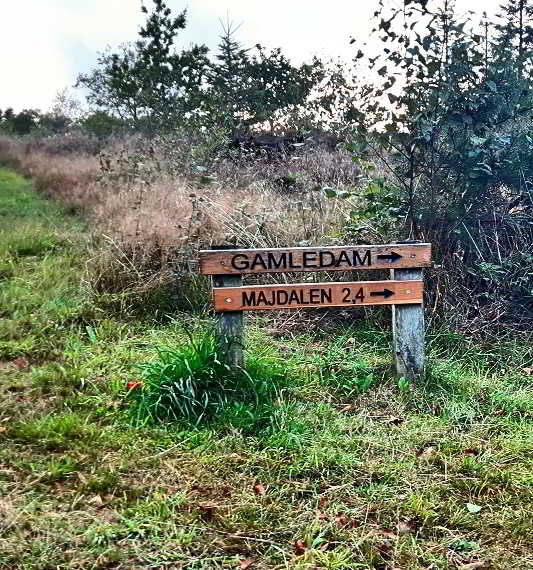
The Lindsvej cycle path and well-marked hiking trails run through Paradisbakkerne. The area is privately owned – please stay on marked routes only.
Access is allowed from 6:00 until sunset – only on marked hiking, cycling or riding trails.
Cars are not allowed. Keep at least 150 m away from buildings.
You may pick mushrooms and berries for personal use.
A quick list of places most often included on the routes (perfect for your “what I want to see” plan).
Bornholm’s most famous rocking boulder.
An ancient refuge site (earthworks and remains).
Impressive rift valleys and rocky paths.
A small forest lake among rocks and trees.
A deep valley with tall conifers and berries.
“The Witch’s Door” – a distinctive rock wall in Dybedal.

Three marked walking routes cover the most interesting parts of the area. Pick the option that fits your time and pace.
Start: Klintebygård or Gamleborg. Highlights along the way include: Klint, Fjældstauan, Rokkestenen, Grydesø, Skottedal, Gamleborg, Midterpilt.
Start: Klintebygård. A shorter loop with the “essentials” of Paradisbakkerne: Klint, Fjældstauan, Rokkestenen and Grydesø.
Start: Klintebygård. A longer option with valleys (incl. Ravnedal, Dybedal) and spots like Heksens dør, Gamledam, Oksemyr.
Combine Paradisbakkerne with a charming town – or pick a similar “forest vibe” elsewhere on Bornholm.
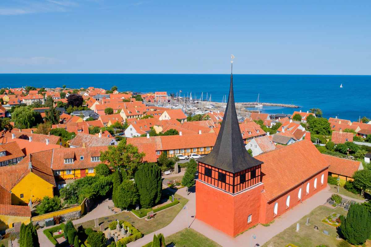
A charming east-coast town – a perfect break after your walk.
See Svaneke
A harbour town and a handy base for exploring eastern Bornholm.
Visit Nexø
If you want more forest trails and valleys, this is a Bornholm classic.
Explore AlmindingenIn eastern Bornholm, between Svaneke and Nexø.
Rokkestenen – the famous rocking boulder.
Yes – the red trail is about 3 km and usually takes around an hour.
No. It’s private land – stay on marked paths only.
Yes – for personal use.
Start with a walk (1–3 h), then enjoy coffee or lunch in Svaneke or Nexø. For more hiking ideas and Bornholm nature inspiration, use the links below.


